Collect Quality Data, Quickly & Efficiently

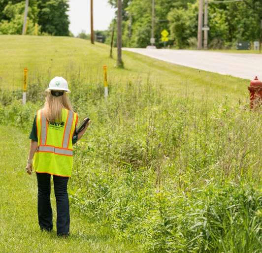
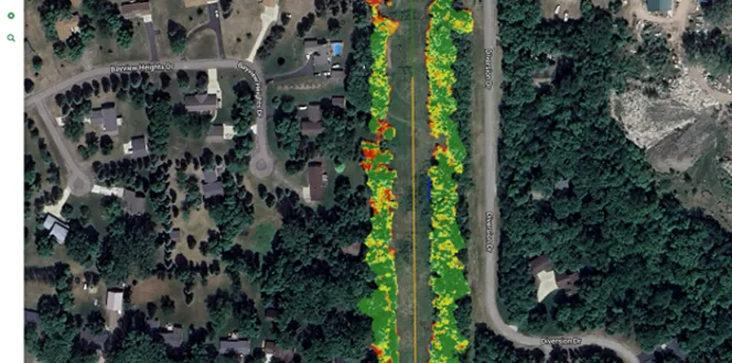
Maintain & Leverage GIS Data to Achieve Your Goals

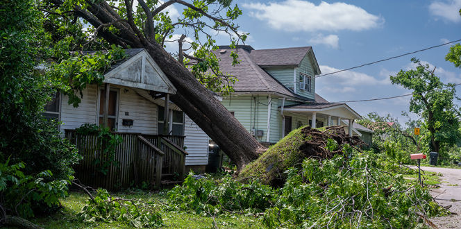
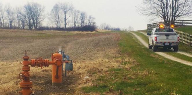
Accurate GIS data is critical for utility providers to manage day-to-day operations, but collecting and maintaining it can be a significant undertaking. High-quality data helps you analyze usage patterns, recognize problems and power outage risks, see energy consumption trends, find potential threats to your power grid, and better manage utility asset repairs. 

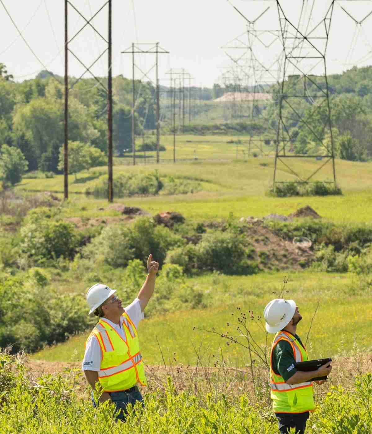
With Davey’s asset and vegetation management expertise, you can make more informed decisions with customizable tools that allow you to leverage GIS data to maintain your rights-of-way more efficiently. 

Techs

Digital Mapping Solutions

DRG’s mapping services provide accurate, reliable Mapping - at your fingertips. From custom cartography to story mapping, our team of experts uses GIS and GPS data to create custom maps in a wide variety of sizes and formats - including 3D maps and videos. 

These capabilities give you the ability to provide your teams with the details they need to get the work done effectively or share project details and highlights with stakeholders. 

GIS and Remote Sensing Services

LiDAR Services

LiDAR measures range by using either ground-based or aerial sensors that pulse light out and generate a 3D map based on what is returned.

DRG can use LiDAR to determine the height and structure of vegetation, conductors, poles, towers, and more.

Featured GIS & Remote Sensing Work

DSC 5350
Electric Investor-Owned Utility

DRG’s Full System Verification Helps Utility Decrease Outage Frequency In Michigan

DRG’s system inventory provides a Michigan utility with the most recent information on their distribution system, allowing the utility to make informed decisions that can decrease outage duration and frequency.
Read More
DSC 5984
Electric Co-op Utility

TVEC Data Collection Project Is First Step To Completing Fiber Upgrades In Hardin County, TN

Davey Resource Group collected location data on over 11 million feet of lines for TVEC, which will be used to design a route for fiber line installation.
Read More
Mission Hurricane Response Banner 1440X500
Electric Investor-Owned Utility

Davey’s GIS Team Updates A Southeast U.S. Utility’s Equipment Inventory After Hurricane Devastation

Twenty DRG technicians were called in to perform a post-storm walkthrough on over 90,000 poles in Lake Charles, Louisiana after Hurricane Laura caused severe damage to a local utility’s transmission and distribution systems.
Read More
Client Success Story The City Of Oberlin Banner 1440X500
Electric Government Utility

GIS System Development Streamlines The City Of Oberlin’s Operations

The city of Oberlin, Ohio is improving their data management by implementing Geographic Information Systems to capture 30 years of legacy data
Read More
Wellhead Groundshot Banner
Natural Gas/Pipeline

Creating A More Efficient Maintenance Process Through Data Gathering

WSSI and Davey Resource Group helped a North American energy company streamline necessary maintenance work through data gathering and mapping.
Read More
Utility Banner Stock
Electric Investor-Owned Utility

Rover Helps Utility Manage Midcycle Workloads

Digital transformation helped to keep mid-cycle work costs in check.
Read More
Right Of Way
Right Of Way

Contact Davey Utility Solutions

Homeowners looking for services for their residential property, contact your local Davey office.

Let's Find What
You're Looking For!