In everyday life, drones have become increasingly popular tools for transportation, delivery, and data gathering. Whether it’s getting a package to your home or searching high above the ground, drones have integrated into almost every industry.
In the environmental sector, drones are used for a wide variety of services. Drones equipped with sprayers can spread chemical treatments over invasive vegetation. Some projects use drones to seed areas for plantings. LiDAR technology attached to drones helps to map topography, while drones with multi-spectral imaging technology can be used to identify tree health or invasive plant species. Some drones can even be equipped with monitoring technology to measure the amount of emissions, like methane, that are present at a jobsite.
While drones are a great tool, they aren’t a one-size-fits-all solution. Knowing the best parameters for drone use will help you get the most out of this heavily sought-after technology.
What Are The Best Projects For Using Drones?
Drones are cost-effective, time-saving tools when paired with boots-on-the-ground teams. With drones, applicators can increase the acreage that can be sprayed with herbicide, seeded, or monitored while reducing the amount of time and labor required to complete a project. Using drones also makes job sites safer, yields lower energy use, and reduces greenhouse gas emissions.
Some common project challenges that would be great candidates include:
- Dangerous infrastructure – Some projects require crews to be surrounded by unstable or unsafe infrastructure. Drones help keep projects on track without exposing crews to safety hazards.
- Difficult terrain – Crews often have to deal with rocky terrain, steep inclines, or slick surfaces when working on undeveloped land. Drones can access these areas while being controlled by crew members at a safe distance.
- Large-scale job sites – While drones can work for projects of almost any size, job sites that are larger in scale can become costly and time-consuming if drones aren’t in play.
Coming Back Down To Earth: Looking At Drones In Real Use Cases
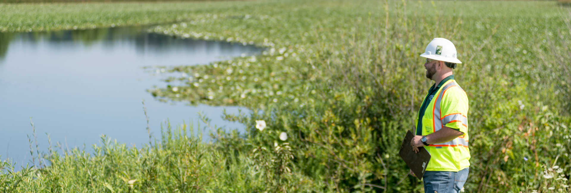
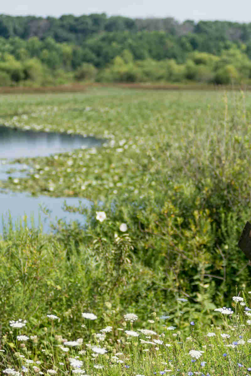
In 2024, Davey Resource Group (DRG) was contracted by Five Rivers Metropark in Dayton, OH for terrain mapping at Englewood Metropark. Using a drone, DRG gathered aerial LiDAR data of the ground, vegetation, buildings, and other features on-site to create a terrain model.
The data gathered was also processed by DRG into a GIS-ready file format for mapping. DRG also generated the terrain model.
With this terrain model, Five Rivers Metropark has accessible knowledge of its grounds to plan projects with ease.
Not sure if drones are the right fit for your project? Davey’s team of drone experts brings the knowledge and experience to support safe, effective on-site drone operations. To learn more about our drone capabilities, contact your local Davey office.
Article Contributors:
Deb Sheeler, Production Manager, Davey Resource Group
Bruce Swanger, Senior Associate Consultant, Davey Resource Group, Northern Ohio
Will Ayersman, Project Manager, GIS & Remote Sensing Services, Davey Resource Group