Mid-Atlantic U.S. Based Utility
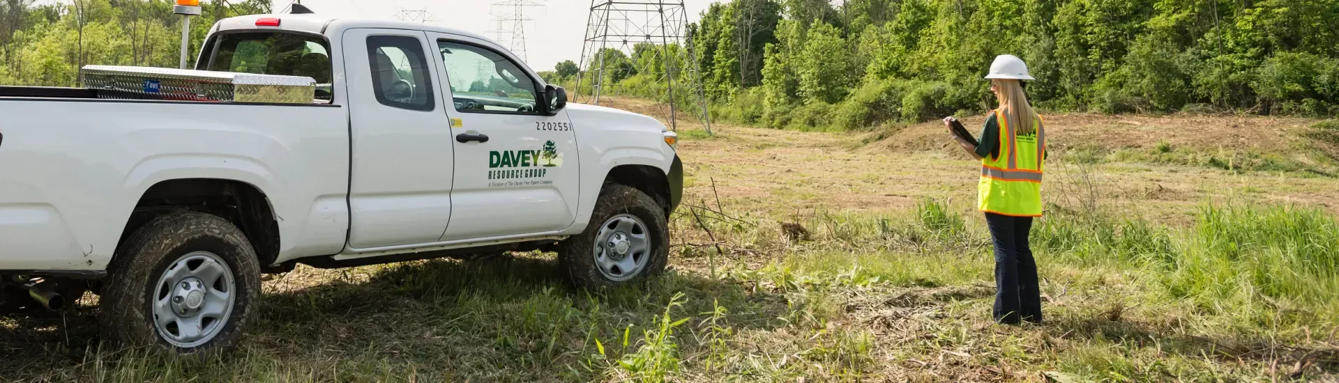
Davey Tree’s Wetland Studies and Solutions, Inc. tracks right-of-way tree location electronically and delineates wetlands to help the utility provide better service.
The Challenge
A public utility operating in the Mid-Atlantic region provides safe and reliable energy to more than 842,000 electric delivery customers in Maryland and the District of Columbia.
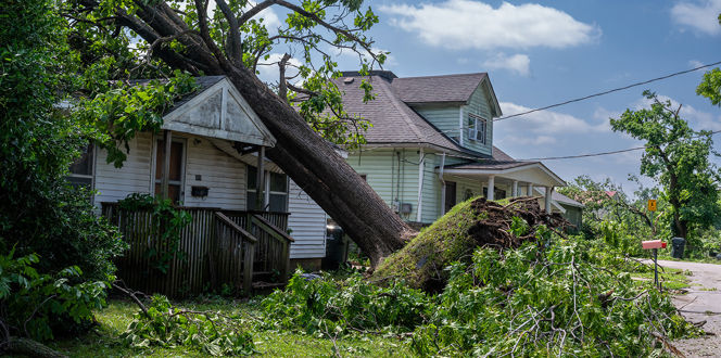
Trees and other vegetation contribute to approximately 20 to 30 percent of all electric service interruptions. This utility believes in the regular maintenance of trees and vegetation around power lines, including preventive pruning, to ensure reliability for its customers. As a result, they have an extensive maintenance program in place to help keep lines clear for distribution and transmission rights of way (ROWs).
To stay on top of this plan, the utility needed help keeping track of its trees along ROWs and delineating and locating the wetlands that could be impacted by vegetation management activities in the ROW.
The Solution
The utility hired Davey Tree’s Wetland Studies and Solutions, Inc. (WSSI) to delineate and locate wetlands and other Waters of the U.S. (WOTUS) along 332 miles of electric power transmission right-of-way (ROW) and 1,937 miles of distribution ROW. WSSI also conducted studies along 2,156 miles of distribution ROW within the utility’s system in two other Mid-Atlantic counties.
In each study, WSSI flagged WOTUS boundaries and tree data points along the ROWs to provide visual indicators in the field to better inform the utility’s vegetation management planners and tree crews conducting maintenance.
For some projects, WSSI has conducted research on rare, threatened and endangered plant and animal species, in addition to historic and archeological resources that may be present within the permit area. WSSI has also worked with the utility and its planners to develop vegetation management strategies that don’t require permits.
The Results
The WSSI staff use Trimble GPS units to capture each flag’s location. This way, the utility’s vegetation management planners can use GPS-located flag data to check wetland and stream locations along ROWs electronically, supporting better planning and protection of natural resources during ROW maintenance.
Overall, tracking tree and wetland locations electronically enables the utility to continue quality service and hold true to its promise to customers ensuring safety and reliability.
>> Contact us to learn more about Davey's Utility Solutions

Related Client Work
Davey Resource Group Helps South-Central Utility Streamline Storm Response Management With ResourceKeeper Software