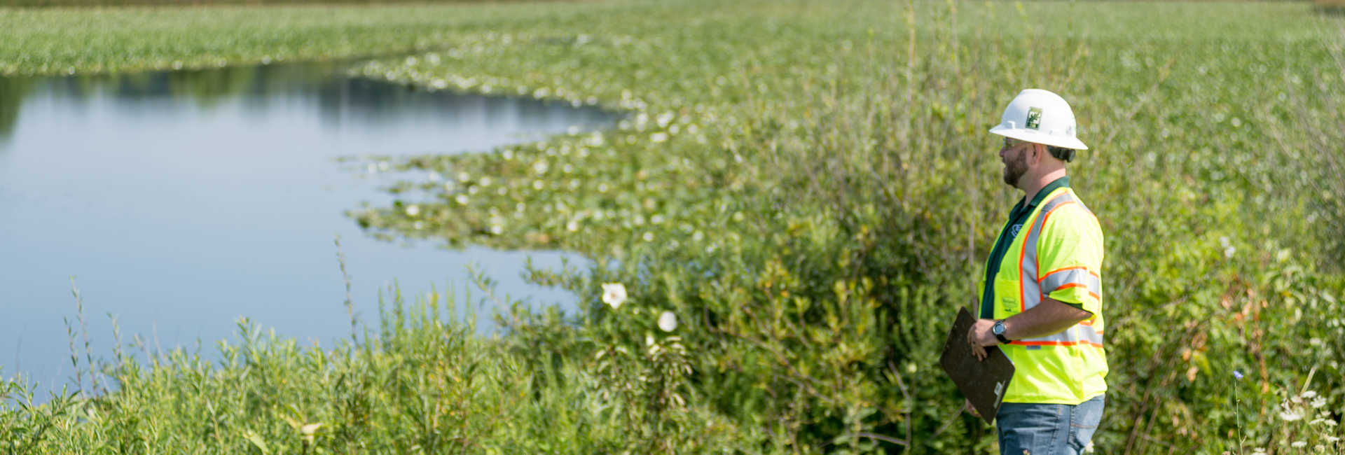
Urban forest monitoring is a goal that is rising in popularity among municipal governments and agencies. A healthy urban forest has numerous benefits, including improving mental and physical health, as well as combating the effects of climate change. When it comes to measuring the health of an urban forest, tree canopy percentage can be a good indicator of what can be improved. Using high-resolution aerial imagery and/or LiDAR, urban tree canopy (UTC) analyses show the amount of the tree canopy along with its distribution.
While one set of UTC analysis data is useful for benchmarking the current state of a city’s tree canopy, multiple datasets gathered over a longer period of time can be used to show trends of canopy growth or loss. Comparing the data sets to create a UTC change analysis can help municipalities make informed decisions on urban forestry goals.
UTC change analyses help municipalities gain insight into causes of canopy changes, such as land development, climate change, soil or air quality changes, presence of pests and diseases, and more. Analyses can also be overlapped with other data, such as census and zoning maps, to provide further insight into tree canopy changes. Combining datasets can also show signs of urban heat islands, help determine the equity of an urban forest, show current tree ordinance enforcement, and help track tree canopy goals, providing hard evidence to agencies who are in charge of funding and policy-making.
Creating a UTC Change Analysis
UTC change analyses are created by comparing a set of UTC data from a previous analysis with a more recent set of UTC data, typically gathered within 5-10 years from each other. The data is summarized into the square footage or acreage of an area and percentages of tree canopy cover within those areas.
The information is then given to the municipality, who works with a planner to interpret the data and create a plan based on the goals they derive from the data.
Davey Resource Group’s (DRG’s) team of experts provides the full suite of solutions needed to complete a UTC change analysis. DRG not only gathers and provides a report of the data to municipalities, but also works with cities to interpret data and create plans and achieve their UTC goals. To learn more about DRG’s urban forestry capabilities, contact your local office.