3-30-300 Mapping & Urban Forestry Insights

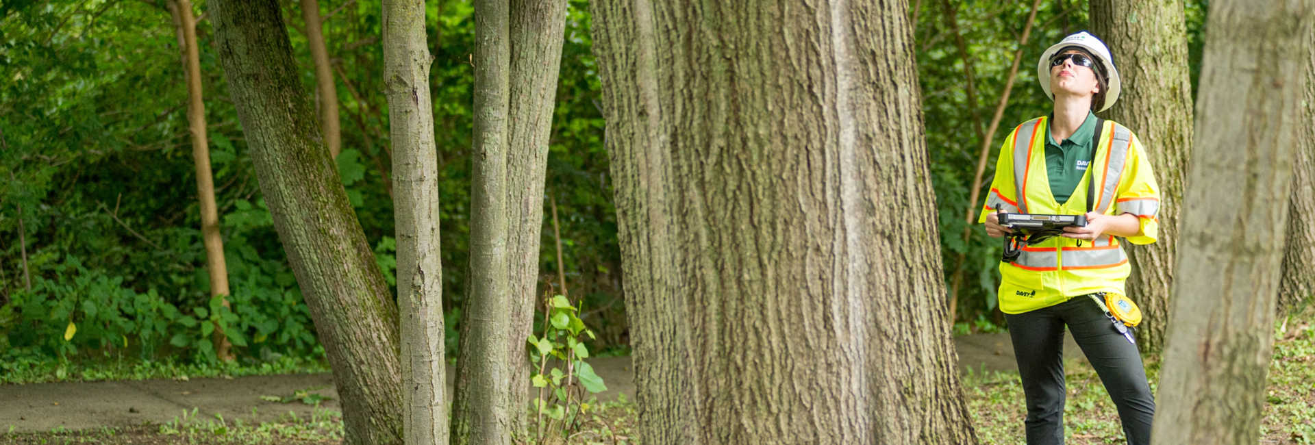
Davey Resource Group turns urban forestry data into strategies that create real impact. Using GIS analysis, line-of-sight methodologies, and expertise in policy, equity, and community planning, we create visual maps showing where trees and green spaces will matter most. Our approach helps communities prioritize planting, allocate resources efficiently, and apply the 3-30-300 guideline to improve canopy coverage, park accessibility, and residents’ connection to nature.

A Framework for Measuring Tree Canopy and Green Space Access

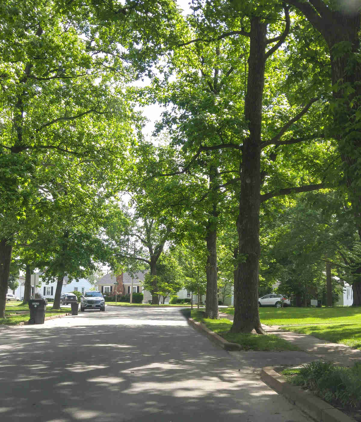
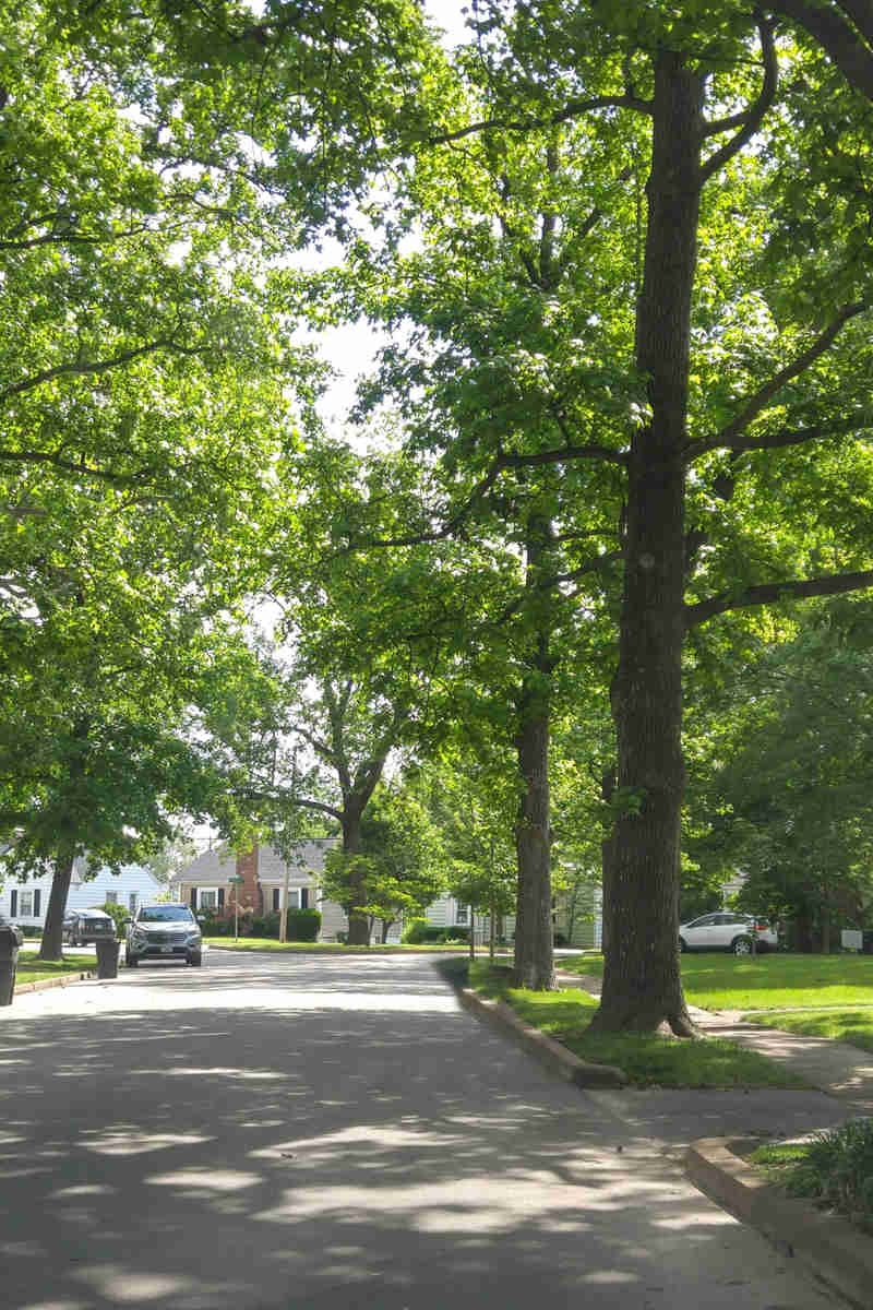
Equitable access to trees and green spaces is key to healthier, more resilient communities. The 3-30-300 guideline turns this principle into clear targets:

  • 3 Trees – Every resident should see at least three trees from home
  • 30% Canopy Cover – Every resident should live in a locality with at least 30% tree canopy coverage
  • 300 Meters – Every resident should live within 300 meters (≈985 feet) of a high-quality green space

Proposed by Dr. Cecil Konijnendijk, co-founder of the Nature Based Solutions Institute in the Netherlands, 3-30-300 provides a practical framework for understanding and planning urban greenery. Applied effectively, it enhances residents’ well-being, supports biodiversity, and strengthens climate resilience. It also allows communities to map tree and green space coverage, highlighting areas of strong access and those that could benefit from improvement.

While it may not fit every community perfectly, the guideline provides a strong foundation for strengthening green infrastructure. Davey Resource Group applies this concept through GIS-based Insight Reports, helping communities turn data into targeted planting strategies and investments that deliver real impact.

Tree Inventory@2X
Tree Inventory@2X

Partner With Davey Resource Group For Your Next Project

With local offices across the country, our team of experts can provide the guidance, analysis, and quality service you need to manage the natural resources on your property. From wetlands and streams to stormwater management and tree inventories, we offer turn-key solutions for clients nationwide.

3 30 300

Applying 3-30-300 with GIS Mapping

We turn the 3-30-300 guideline into data-driven action. Our maps reveal tree visibility, canopy coverage, and access to green spaces, highlighting areas of strong access as well as those that could benefit from improvement. They identify which properties meet all three standards, which meet only one or two, and which areas need attention.

Mapping outputs include:

  • Building-level scores
  • GIS mapping layers for each category
  • Methodology documentation
  • Full datasheet of results

These visualizations lay the groundwork for the Insights Report, which translates the data into actionable recommendations tailored to your community. Planners, elected leaders, and residents can use these insights to prioritize interventions, allocate resources efficiently, and make informed decisions that maximize impact.

3 30 300 3 Trees (1)

Insights Reports – From Data to Action 

Building on mapping and scoring results, the Insights Report interprets the data and provides actionable guidance. It helps communities understand results, prioritize interventions, and plan projects that deliver measurable benefits. Two types of Insights Reports are available:

  • Rapid Insights Report – Provides concise 3-30-300 area scores, GIS mapping layers, and PDF maps for quick, actionable insights.
  • Full Insights Report – Offers detailed recommendations, including streets where planting will most improve tree visibility, areas needing greater canopy coverage, and park accessibility analysis. It also includes GIS mapping layers and guidance for planning and investment.

With these insights, communities can identify canopy gaps, support funding bids, and communicate plans clearly, taking the next steps toward greener, healthier, and more livable communities.

Annual Pricing Structure

Unlimited Users, Unlimited Data, Free Upgrades

Treekeeper Pricing

$3,500+ USD

Rapid Insights Report 

Provides 3-30-300 scores, GIS mapping layers, and PDF maps for targeted urban forestry planning.

Treekeeper Pricing

$7,000+ USD

Full Insights Report

Comprehensive report with detailed recommendations, GIS mapping layers, and actionable guidance to help communities plan tree planting and green space improvements.

3 30 300 30% (1)

3-30-300 & Tree Canopy Surveys: Complementary Insights

A tree canopy survey maps the extent, location, and variation of tree cover across an area, providing an overall percentage of coverage. It helps communities set goals and prioritize planting.

The 3-30-300 guideline builds on this by providing building-level, human-centered metrics. It shows where trees matter most to residents, making results clear, relatable, and actionable.

By combining canopy data with 3-30-300, communities can prioritize planting, guide investments, and support equity, biodiversity, and access to nature.

Image 22@2X
Image 22@2X

Contact Davey Resource Group

Homeowners looking for services for their residential property, contact your local Davey office.

Let's Find What
You're Looking For!