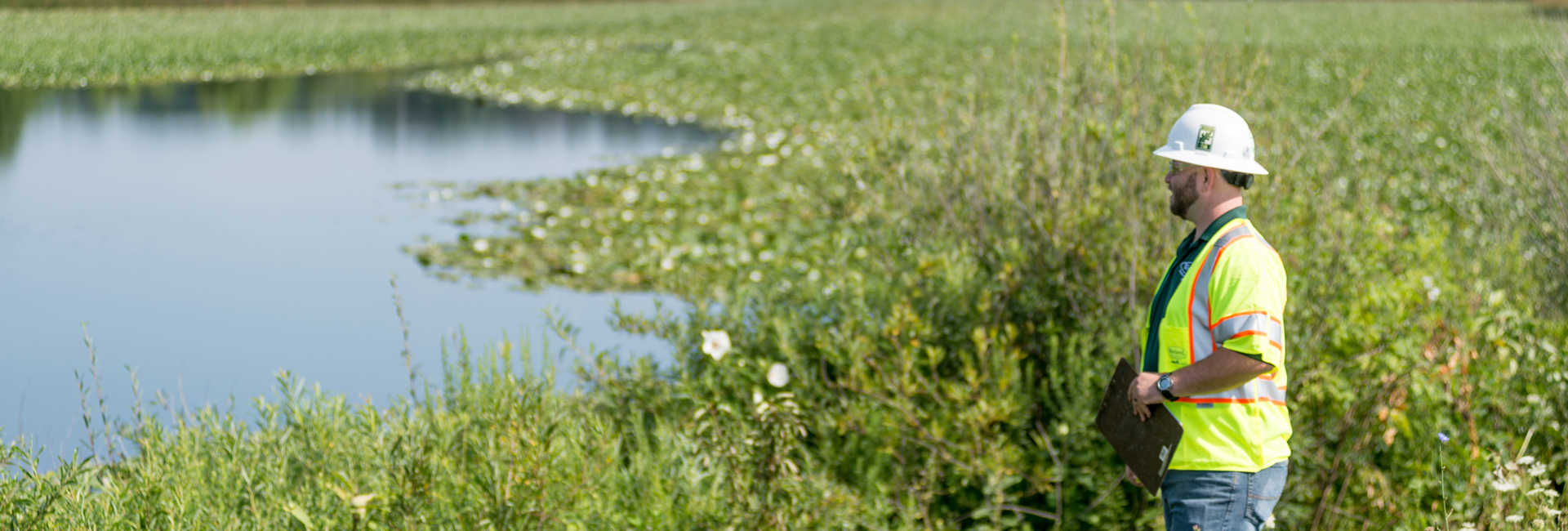
Urban trees are invaluable assets to a community. They provide cooling shade, support biodiversity, filter air pollutants, and provide opportunities for outdoor activity and social interaction to improve mental and physical health.
Equitable access to trees and green spaces is a cornerstone of a healthier, more resilient community. Neighborhoods with more canopy cover experience improved heat mitigation and stormwater management. Easier access to green spaces reinforces routine use, which helps improve community well-being.
The 3+30+300 principles, developed by Dr. Cecil Konijnendijk of the Nature Based Solutions Institute, offer a practical way for cities and urban foresters to better understand where tree canopy and additional green infrastructure improve equitable access to nature.
What Are The 3+30+300 Principles?
The principles are a diagnostic tool that can complement local expertise in urban forestry planning and policy development. They outline three measurable conditions that reflect everyday exposure to nature:
- 3 Trees Visible – Every resident should see at least three trees from their home
- 30 Percent Canopy Cover – Every resident should live in a locality with at least 30 percent tree canopy coverage
- 300 Meters to Green Space – Every resident should live within 300 meters (around 985 feet) of a high-quality green space
Together, these metrics provide a structured way to translate data on environmental conditions into actionable insights that can support planning and prioritization.
How Can I Determine My Community’s 3+30+300 Metrics?
3+30+300 scores are determined using GIS data to create a clear digital map of a community that reveals tree visibility, canopy coverage, and access to green spaces, highlighting areas of strong access as well as those that could benefit from improvement.
The mapping output includes:
- Building-level scores
- GIS mapping layers for each category
- Methodology of documentation
- Full datasheets of results
Once the score has been determined, Insight Reports generated from the data provide recommendations to pinpoint where plantings and investments will deliver the most benefits for a community. 3+30+300 data can also provide tangible evidence for funding bids.
Applying The Principles
Even modest, strategically planned interventions can meaningfully improve canopy and green space distribution over time. The 3+30+300 principles can serve as a starting point for identifying where targeted action is most effective.
Davey Resource Group (DRG) turns the 3+30+300 principles into data-driven action. They provide accurate data, innovative analytics, and expert-driven strategies to help define a community’s urban forestry goals at any stage.
DRG can use the 3+30+300 principles to build on tree canopy assessment maps using TreeKeeper Canopy, our proprietary urban forest monitoring software. TreeKeeper Canopy enables annual tracking of canopy change that, paired with the 3+30+300 principles, allows communities to prioritize planting, guide investments, and support equity, biodiversity, and access to nature.
To learn more about the 3+30+300 principles, visit Davey.com.
Article Contributors:
Will Ayersman, Project Manager, GIS & Remote Sensing Services, Davey Resource Group