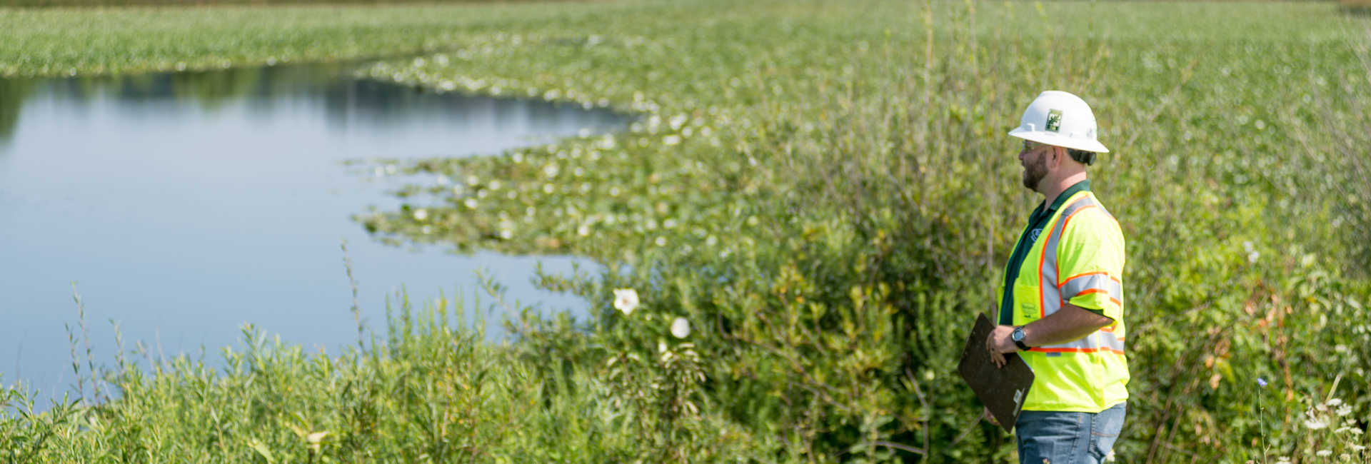
For state and local governments, the ability to identify and address new and existing invasive pest species has an immediate impact on maintenance budgets and expenses, as well as on residents’ quality of life. However, surveying trees and other green infrastructure has historically been limited by the fact that typically 90% of urban vegetation is found on private property, impacting the information available to quantify and monitor the health of trees in a municipality.

In recent years, advances in high-density LiDAR and hyperspectral imagery have offered new tools to states and municipalities for invasive species management. These expansive, highly accurate datasets, collected using airborne sensors and cameras, provide valuable information on both public and private trees. As LiDAR and hyperspectral technologies become more affordable and easier to implement, state and local governments can take advantage of comprehensive datasets to inform their vegetation management programs.
Multiple-use Cases
Comprehensive data enables city planners to more effectively allocate funds towards maintenance, planting of new trees, and rapid response to challenges such as disease, invasive species, and even decreased maintenance costs. Although many communities have information on trees in public lands, very few have information on private lands that are closely interconnected with the community and have an impact on public land management.
Hyperspectral imagery provides key information for mapping areas like forests and urban landscapes by processing information from hundreds of wavelengths in narrow bands along the electromagnetic spectrum into spectra not seen by the human eye. The rich data provided by hyperspectral imagery in conjunction with LiDAR, which uses lasers to develop 3D images of the target area, can then be processed using computer algorithms and machine learning to identify the species, size, and health of trees.
Both hyperspectral and high-density LiDAR data surveys are conducted using specialized sensors mounted on drones, helicopters, or fixed-wing aircraft. Once collected, the data is processed and analyzed to provide useful insights for vegetation and asset management. While hyperspectral imagery is used to identify defining characteristics of an individual tree, LiDAR allows city planners to isolate individual canopies from one another in areas with dense tree populations as well as other features such as building and powerlines. This level of detail enables researchers to assess the health of individual trees—detecting patterns and potentially identifying health problems in trees on private land before they spread.
One of the most important functions for LiDAR and hyperspectral imagery in city environments is to quantify canopy cover percentage. Understanding the health of all trees in a community enables local governments to manage threats such as invasive tree or insect species. The data serves as an early-warning system, allowing state and regional agencies to conduct preventive maintenance and reduce the impact of natural disasters.
Technological Advances
High-density LiDAR and hyperspectral imagery have become more widely available to regional and municipal governments over the course of the last decade. Reduced component prices and advances in processing power have made these technologies both more affordable and easier to use. As processing power has increased and become more accessible and affordable over the last decade, previously unwieldy datasets can now be easily stored, managed, and interpreted by a municipality or state government. The combination of hyperspectral imagery with LiDAR has significantly improved the level of detail and accuracy of the classification, making it an operational tool rather than simply a nice idea. The combination of these technologies is enabling cities and states to more effectively reach their canopy and biodiversity cover goals, confirming whether or not benchmarks are being achieved over the course of a long-term initiative.
As government agencies across the United States respond to the effects of climate change, urbanization, and invasive species, it is critically important to develop a detailed understanding of a region’s canopy cover and green infrastructure. Hyperspectral imagery and high-density LiDAR are now accessible to state and local governments at an affordable cost, delivering a rich dataset that can be used to predict future trends and guide long-term city planning strategies.
Contact Your Local DRG Office To Learn More.
This is an edited version of an article written by Andrew Brenner and Zach Raymer of Quantum Spatial, DRG’s partner in data acquisition and analysis, for American City & County.