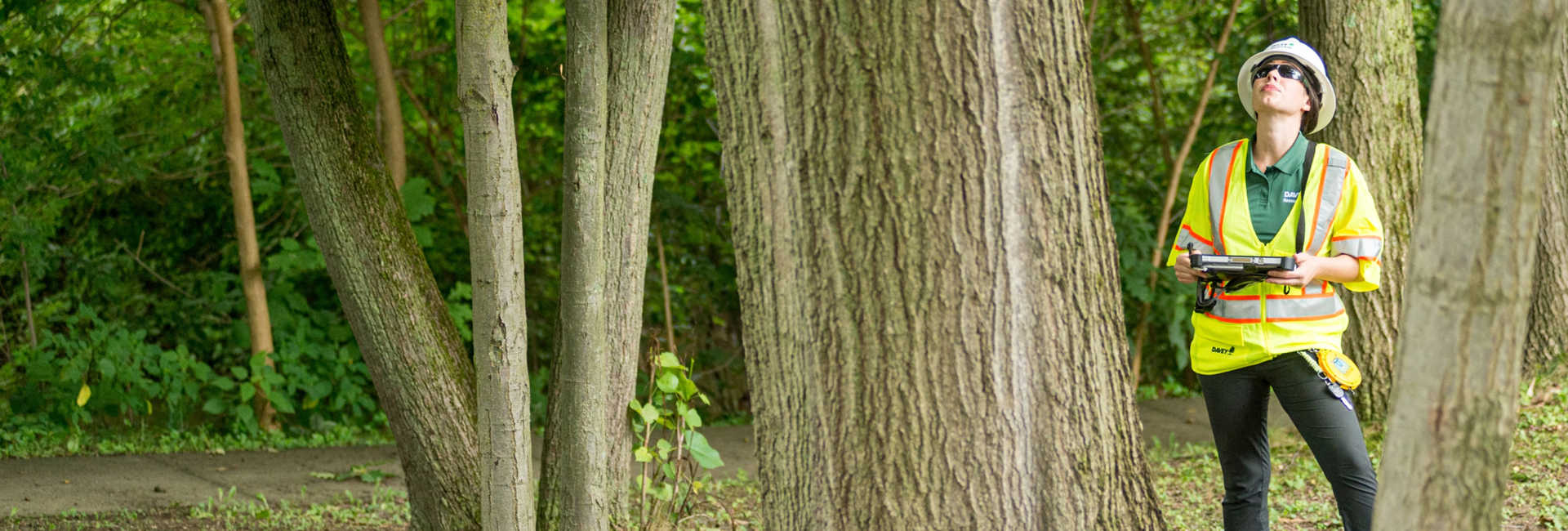
Our team of experts can provide the guidance, analysis, and quality service you need to manage the natural resources on your property. From wetlands and streams to stormwater management and tree inventories, we offer turn-key solutions for clients nationwide.

With over 25 local offices and a national footprint, we offer a wide and growing variety of consulting services, including: wetlands and stream studies, environmental design and ecosystem restoration, stormwater management and compliance, urban and community forestry, our proprietary TreeKeeper inventory management software, and invasive species management.
We understand the complex ecosystems, resource challenges, and regulatory concerns that impact the success of any environmental project. No matter the location—dense city core or a remote rural site—we leverage our creativity and expertise to deliver reliable, turn-key ecological consulting services. We combine the latest technologies with time-tested techniques to provide high-quality results in a timely and professional manner.