For decades, tree inventories have helped municipalities determine the trees' species, location, and risk level along with other important data fields within city boundaries. Since their inception, tree inventories have evolved with the advancement of technology from paper to digitalization, to GIS mapping, to i-Tree ecosystem calculations. With automation becoming the new norm across all industries, urban forestry is being pushed to stay up to speed, using machine learning and artificial intelligence (AI) to automate tree inventories.
What does an automated tree inventory do?
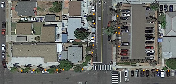
Automated tree inventories use aerial imagery to identify tree locations and Google Street View to pinpoint the exact locations of trees in a canopy zone. These locations are then mapped as data points and able to be loaded into a GIS system. While boots-on-the-ground inventories can provide more specific information about tree species and risk level, automated inventories can provide more precise location and additional data fields like height, canopy width, and proximity to infrastructure – information that’s typically not cost-effective to collect with traditional inventories.
Knowing the location of a tree can help municipalities determine tree equity, create planting plans, and determine the zoning for routine preventative maintenance programs. Municipalities that need initial tree inventory data can use automated tree inventories to define future inventory or tree work budgets at a low cost, while municipalities with existing inventory data can use automated inventories to update existing data and take note of new plantings or removed trees.
Decades of expertise advancing tree inventory technology
Davey Resource Group, Inc. (DRG) has been providing tree inventories to municipalities since the early-to-mid 1990s, embracing the technological advancements made since then in tree inventory data intake. Recently, DRG performed a tree inventory using AI and machine learning to map 400,000 trees in 3 weeks in Southern California with a 95 percent accuracy rate. To learn more about this project and automated inventory data, register for a free webinar on June 16 to learn more.